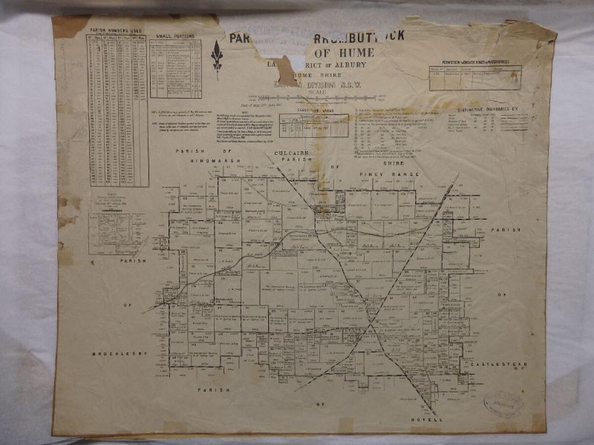
MapParish of Burrumbuttock, County of Hume, Albury Land District, Hume Shire, Eastern Division, N.S.W.20 June 1921DescriptionCadastral map showing parish boundaries and land holdings. Paper on brown paper, includes many tables of Parish Numbers used etc. InscriptionAlbury & District Historical Society Archives Stamp, pencil writing on top edge on front of mapAccession numberARM HMAP41ClassificationDocumentMapArtist/MakerDepartment of LandsDimensions543 x 639mmShow moreHistory of ItemADHS756History of ItemADHS756